CONSTRUCTION – TRANSPORTATION – URBAN PLANNING – LOGISTICS
- Supporting smart and green urban planning
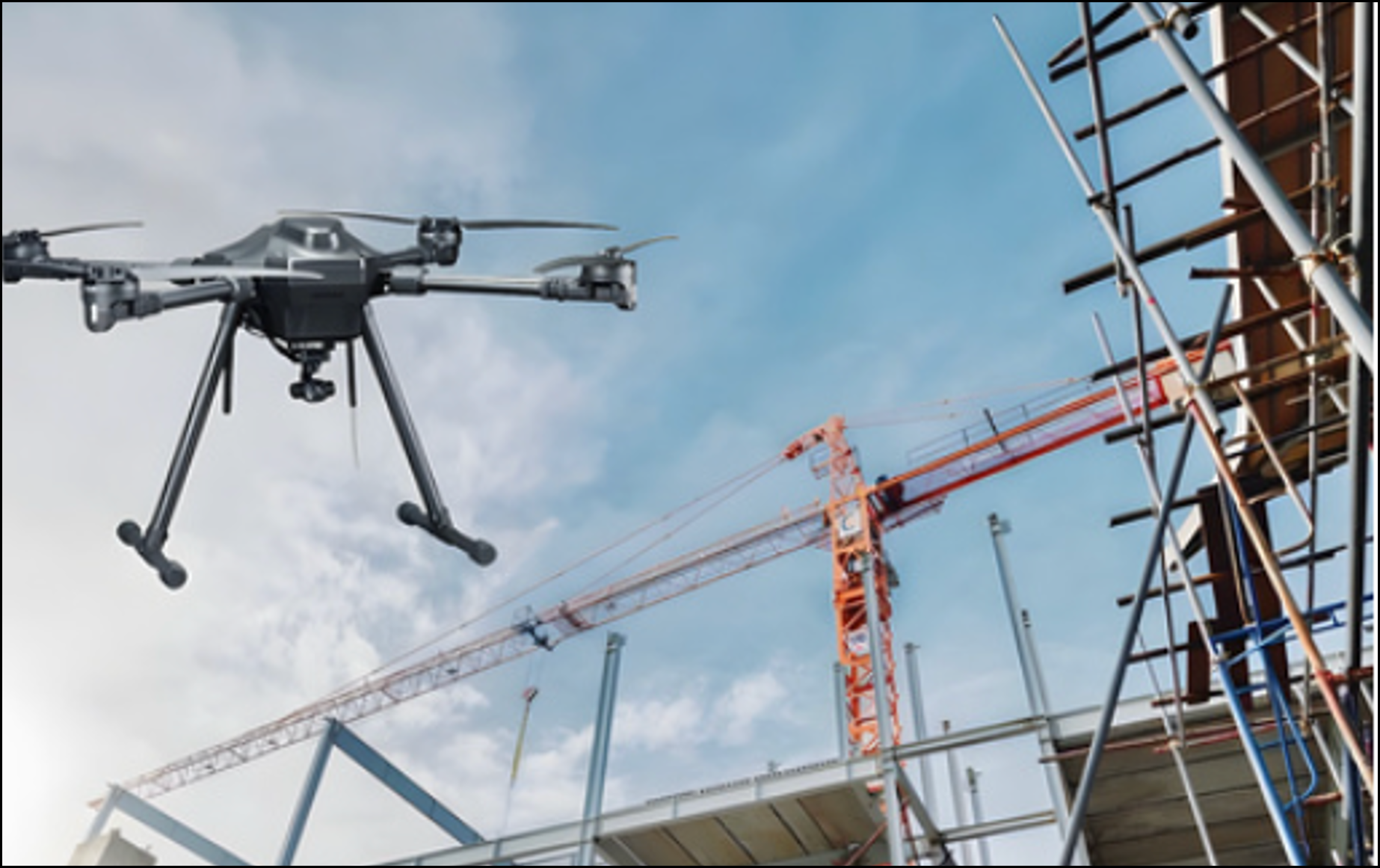
- Monitoring construction activities, licensing, and inspection
- Detecting construction regulation violations
- Tracking construction project and infrastructure progress
- Monitoring construction quality and materials
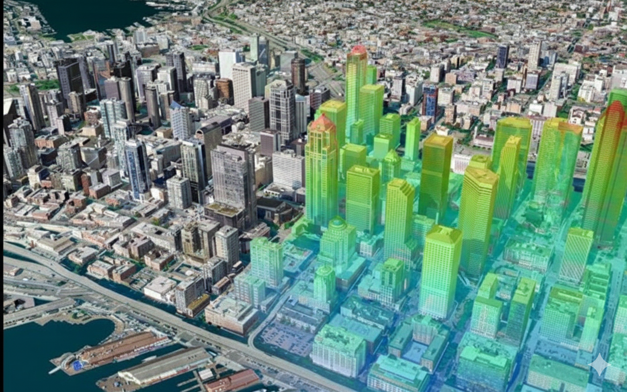
- 3D modeling of buildings and urban areas
- Monitoring land-use and urban planning
- Tracking land clearance and compensation progress
- Updating urban and construction planning changes
- Managing smart transportation infrastructure
- Monitoring vehicle flow and traffic volume
- Traffic congestion alerts
- Analyzing traffic accidents and black spots
- Supporting traffic route and vehicle coordination
- Monitoring port, station, and airport operations
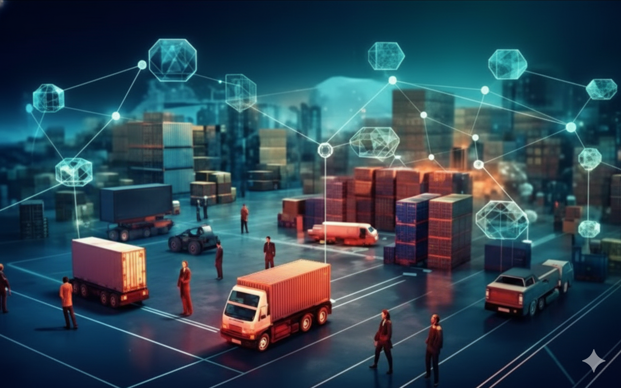
- Tracking national logistics connectivity
- Optimizing cargo flows and distribution
- Monitoring warehouses and distribution centers
- Monitoring transportation and logistics infrastructure coverage
- Integrating planning, transportation, and population data
- Tracking national infrastructure project progress
- Analyzing infrastructure investment efficiency
- Monitoring green and sustainable urban development
- Building public asset maps
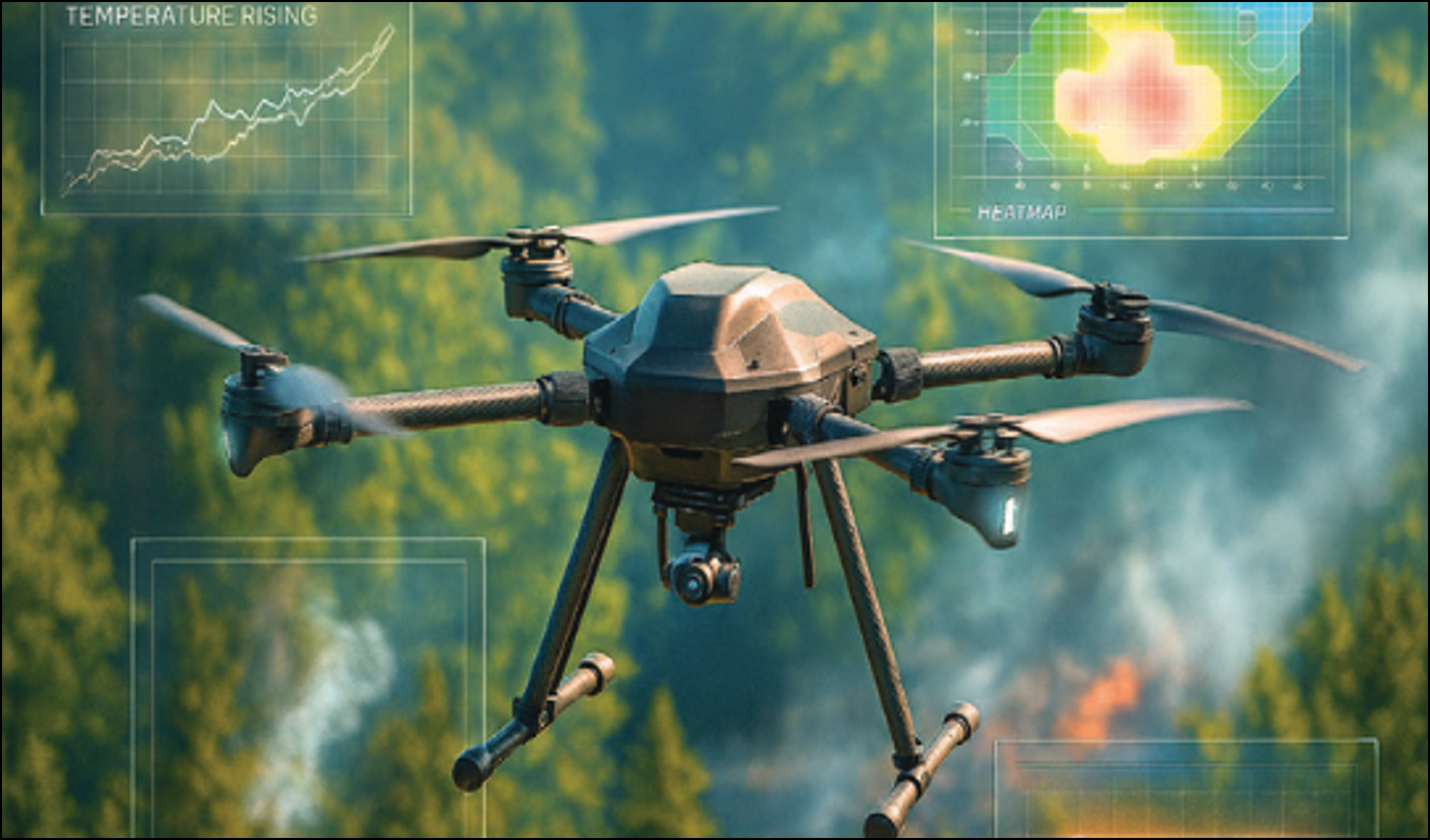
- Warning of subsidence, cracks, and infrastructure degradation
- Tracking construction progress and labor safety
- Supporting inter-regional transportation project coordination
- Integrating national infrastructure maps
- Monitoring urban–rural spatial planning changes
- Monitoring national supply chains, goods, energy and transport flows
- Monitoring cargo flows at ports and border gates
- Monitoring e-commerce flows, fulfillment centers, and logistics networks
- Flow analysis for distribution, wholesale, and retail point
- Regional logistics efficiency and bottleneck analysis
- Integrating e-commerce with smart logistics planning